Search and Download Data Here Clowder File Repository Models & Analytical Tools
Research Sites
How were these sites chosen?
The core sites were chosen because research efforts can span across all three critical interfaces that are exceptionally important to critical zone research. The core sites also have well-established observational equipment, accessible field sites, and a wealth of knowledge collected through prior efforts through the IMLCZO projects.
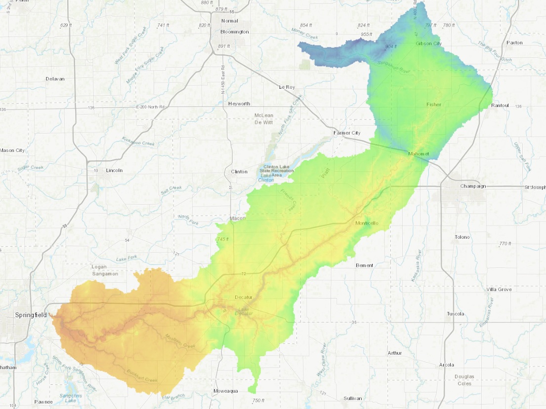
Why test along the Sangamon River?
The Sangamon River was chosen because it lies in the glaciated parts of the Midwest and outer reaches of the upper Mississippi River Basin. These regions contain some of the most productive, but intensively managed landscapes (agricultural fields) in the world.
Core Sites
Site 1: Sangamon River Forest Preserve, Champaign County
 |
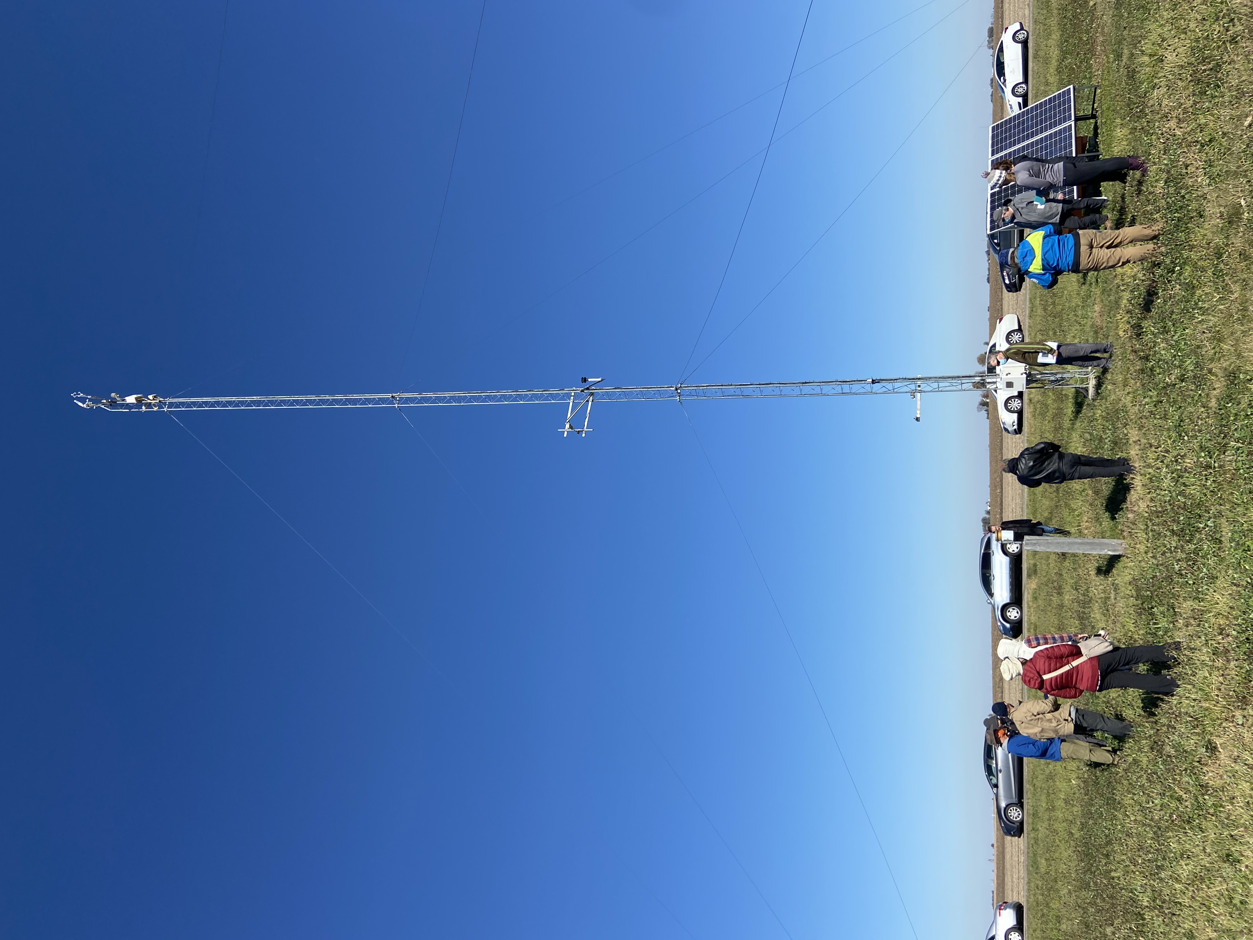
In 2007, the land which was formerly cultivated for over 70 year, was reseeded back to a native prairie. This site is an important location because it gives us an idea of how water, weather, and the different soil properties behave in a relatively native landscape. This site has a weather monitoring system that started operating in 2014. The system measures many different weather characteristics including temperature, relative humidity, and atmospheric pressure, and a rain gauge. There are also soil moisture probes that are installed at depths of 5cm, 20cm, and 60cm in 4 different locations around the site. This site also contains groundwater measuring wells. The deepest well reaches a depth of around 100 meters (98 feet). This deep well monitors the groundwater levels in regional aquifers, one in particular is the Mahomet aquifer. There are also shallow wells that measure seasonal changes in the near surface water table. |
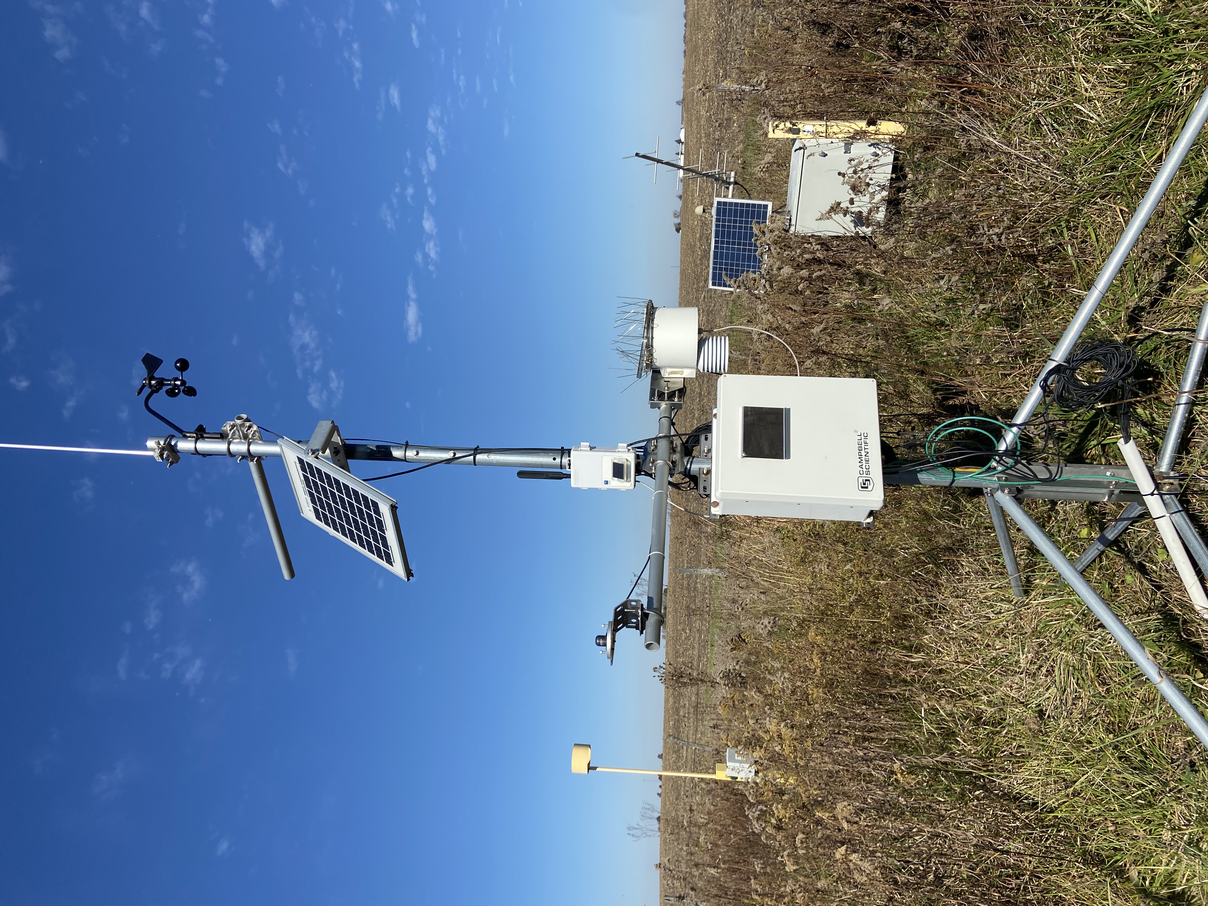
Site 2: Eddy Covariance Flux Tower, Goose Creek, Piatt County
 |
The flux tower measures the interaction between the soil, land, and atmosphere. The different elements being measured include wind speed, temperature, and ecosystem changes with water, carbon, and temperature. The measurements are taken at different levels including 25 meters, 10 meters, ground level and below ground. This is important because at each level there are different readings taking place. At 25 meters wind and atmospheric stability are being measured. At 10 meters, solar radiation, air temperature, relative humidity, and wind speed. At the ground level, there is a rain gauge measuring rainfall, ambient temperature, and ambient pressure. The measurements being collected below ground include soil moisture, electrical conductivity, and soil temperature. The depths of these measurements are at depths ranging from 5 cm to 180 cm. |
Site 3: Gantz Farm, Piatt County
 |
This site provides an ideal location for many different comparative measurements. The landscape is interconnected, from the agricultural field to Goose Creek, as well as a vast tile drainage system. The site is great for comparative study of SOC (soil organic carbon) variability as well as hydropedological (water and soil) processes. This site also holds potential as an important contrast with MIRZ (management-induced reactive zone) sites, the hillslope transect, and floodplain depocenters, and a possible input end for the RiverLab (learn more at Site 7). |
Site 4: Goose Creek Stream
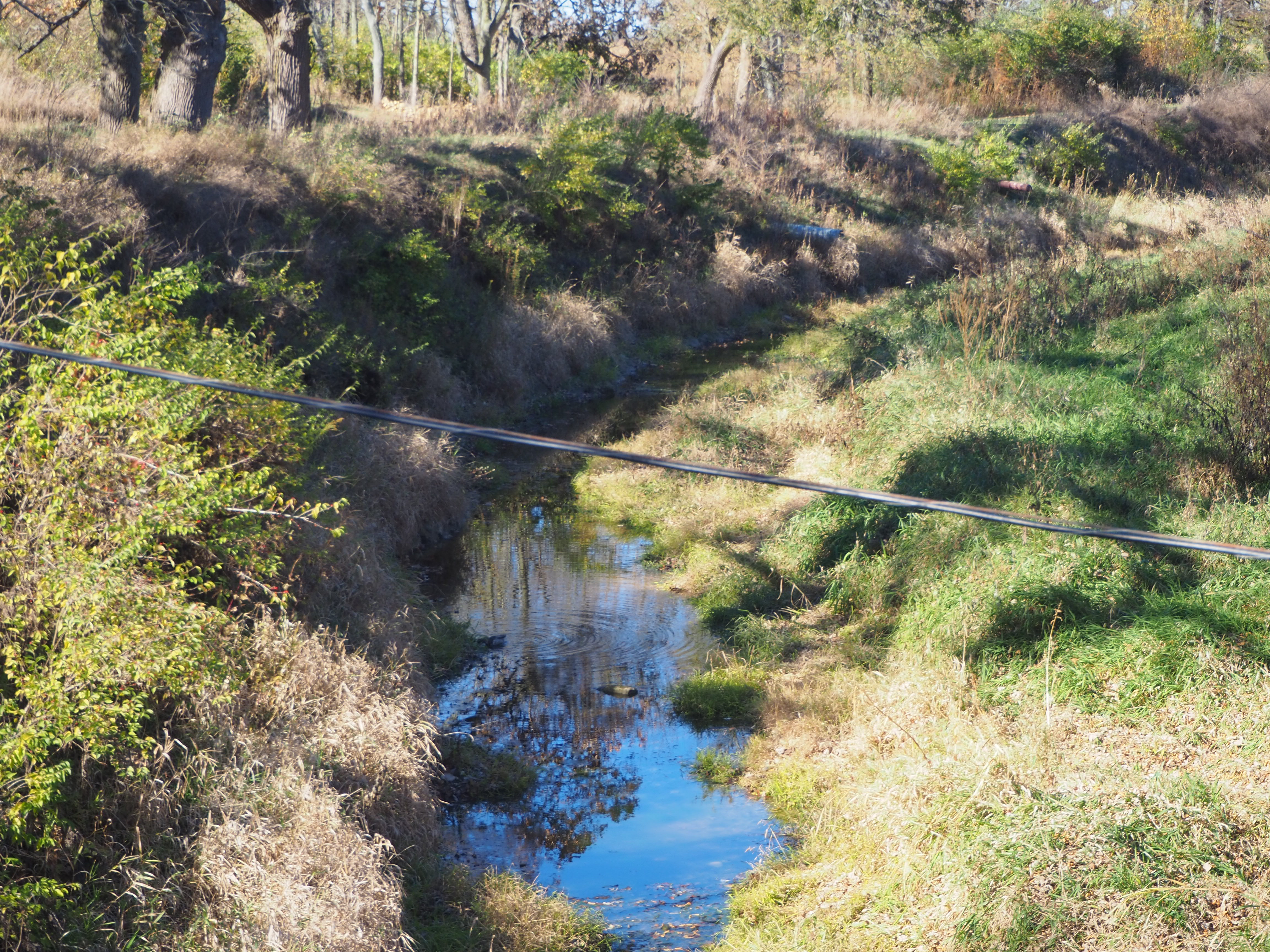 |
There are two streamgaging stations with ISCO automatic water samplers on Goose Creek. The upstream site is near the transition between the flat, intensive agriculture terrain and steeper Sangamon River valley. The downstream site is near the bottom of the valley just upstream of the Goose Creek-Sangamon River confluence. Streamflow is measured every 15 minutes and the ISCO equipment uses the streamflow data to sample water at predetermined frequencies. These sites allow researchers to understand changes in sediment fluxes between the different terrain and channel characteristics. In addition, sediment in water samples will undergo additional analyses. |
Site 5: Allerton Trust Farm
 |
This site is along a tributary of the Sangamon river. This site was originally established to measure water and sediment changes in the stream from the tile drains throughout the field. This research has been going on for many years and researchers now have a better understanding of the carbon cycle as well as nutrient loss through tile drain flow. The site also has weather and soil sensors. The data being collected from the weather station includes relative humidity, temperature, air pressure, rainfall amounts, and wind monitoring. The soil sensors are placed at 5cm, 20cm, and 60cm to measure soil moisture, temperature, and electrical conductivity. For the current CINet project there will also be an MIRZ (management-induced reactive zone) system that will measure soil gas and moisture levels automatically every hour, as well as soil organic matter chemistry collected by a researcher bi-weekly. |
Site 6: Allerton Park and Retreat Center
 |
This site will be utilized for one-time deep core soil characterizations which will extend across the floodplain. The goal of this coring is to provide a reference of soil organic matter levels and any longer-term processes, such as weathering or net deposition. Many of the cores will reach depths of about 6 meters to get an entire record of sedimentation and erosion. |
Site 7: RiverLab and Monticello ISCO Site
| This site will include state of the art technology that will be complemented by the work being done at the other six sites. This site will help researchers understand how different characteristics in the floodplain influence storm surge signals. The RiverLab will take in-stream measurements of pH, turbidity (cloudiness of the water), temperature, conductivity, oxygen and total organic carbon concentrations at 10 second intervals. This will be the first measuring system of its kind in North America. |